Offline maps for group trips
Where is everyone?
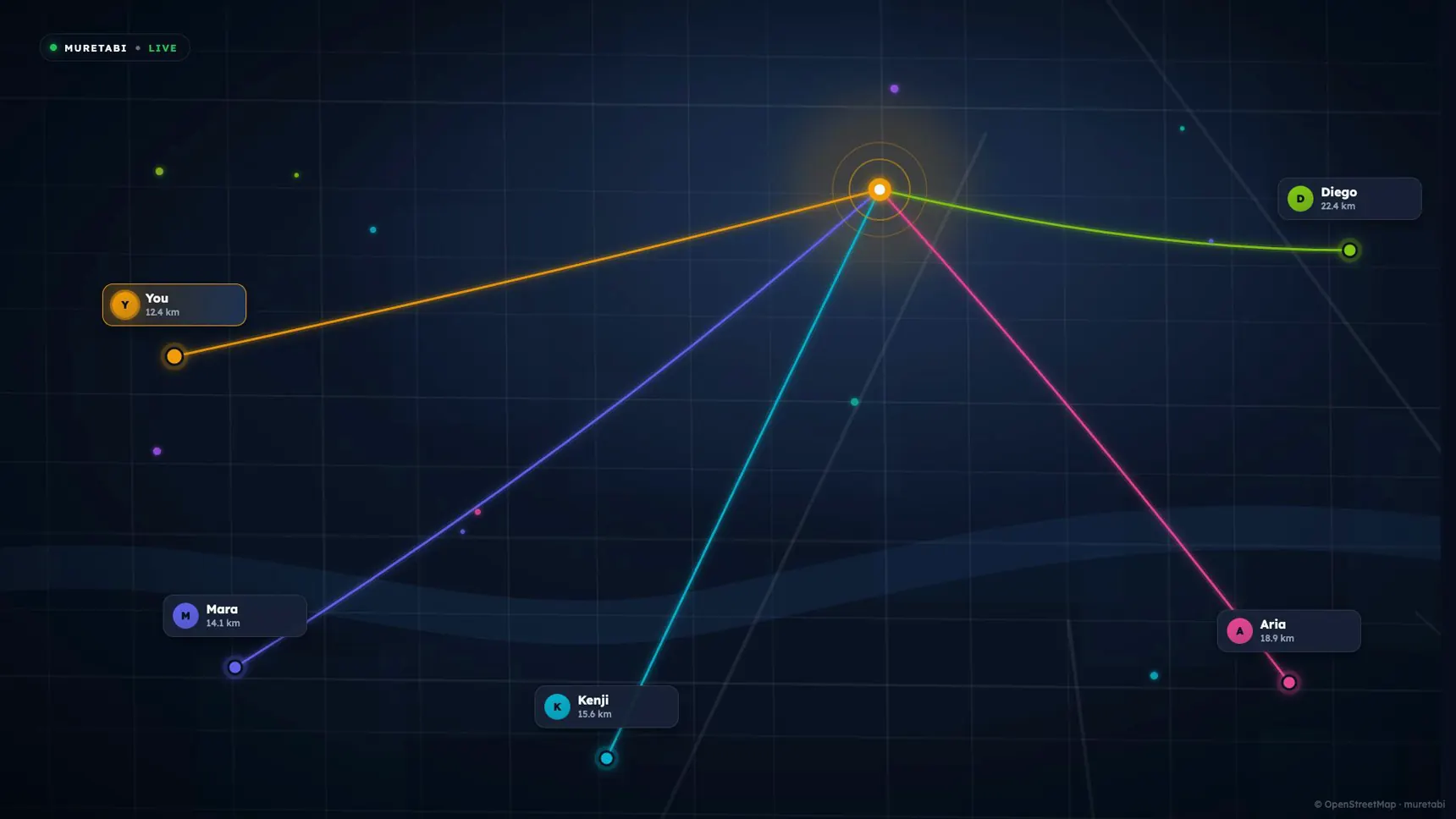
Everyone driving to one place, on one map, and how far each has to go. Hold one button to talk to them all.




Everyone’s route to the same place. Nobody has to say where they are.
One button. No call to answer, no number to dial.
Tunnels, ghats, dead highways. Your map stays on your phone. Others catch up on signal.
Sorted by who is closest to the place you’re going.
Your next turn, arrival time and place in the group, at a glance.
Family at home follow along in a browser. No app, no account.
If you're wondering
Why not just share location in the group chat?
You can. Someone still ends up asking “where are you?”, because nobody can open the chat and check everyone’s pin while driving.
A shared pin in the chat
- Shows where each person is
- No shared destination, so you can't tell who is close and who is an hour back
- You type or record a voice note while driving
- Lose signal and the map goes with it
muretabi
- Everyone on one map, going to the same place
- Sorted by who is closest, so nobody has to ask
- One button talks to everyone, hands on the wheel
- Your route is on your phone before you leave, so a dead zone can't take it
One person sets it up. Everyone else just drives.
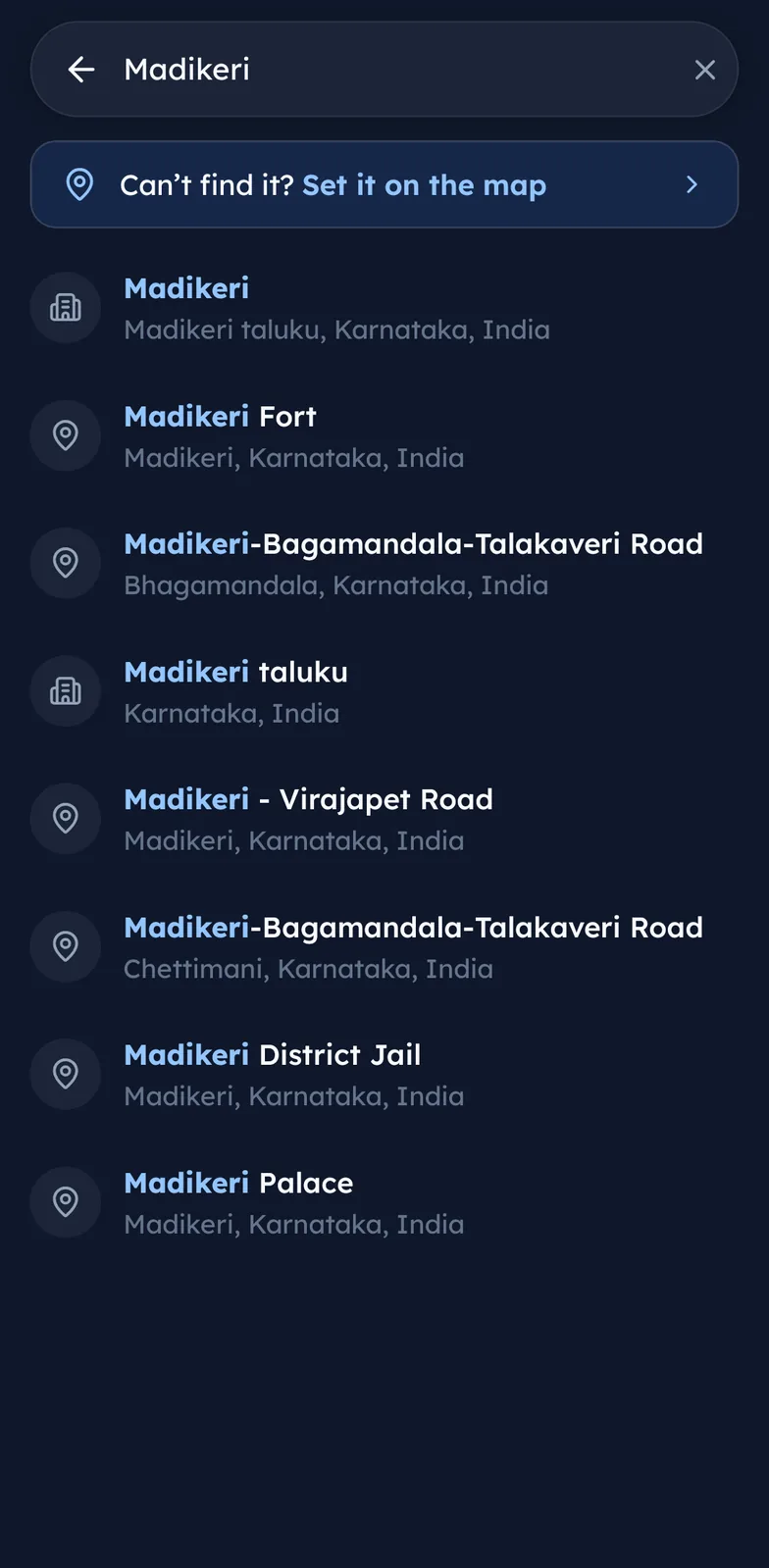
One person picks the place, once, for everyone. Search for it or tap the map.
Paste the code into the group chat. Everyone who is driving joins with it.
Everyone is on one map, talks on one button, and keeps their map through the dead zones.
Before you install
Who can see where you are
Send one link to whoever stayed home. Nothing to install and no account. They see the group moving on the map, with names, so they can tell who is who. Their link stops working when the trip ends.
Only the people on the trip can see it, and only while you are on it. Leave the trip and it stops. The trail is deleted after 30 days.
Thirty seconds of a trip
Five riders, one place, the whole way there.
Questions people ask
How many vehicles can be on one trip?
Do we all need the same phone?
Does it navigate, or do I need another maps app?
How far apart can we be and still talk?
We are all meeting before we set off. Does everyone need signal there?
Can we add a stop on the way?
Will it drain my battery?
Still have questions? Get in touch
Start the group's first trip
Install it before the drive, not at the petrol pump with four people waiting on you. Free on Android and iPhone.
Get the appGet product updates by email.